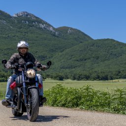
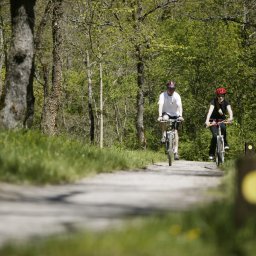
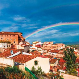
Sierra Cebollera Natural Park is home to over 80 km of well-signed footpaths spread over seven different routes. At the start of each itinerary is an interpretation panel with a route map, level of difficulty, type of vegetation, historical information, and points of interest. Experience nature and history. All you need is a good pair of walking shoes.
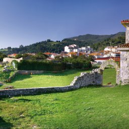
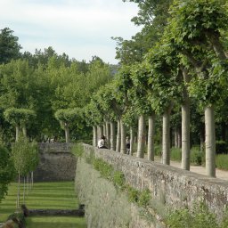
The old Roman road that linked the cities of Varea and Numancia 2000 years ago crosses the park, passing through the towns of Villoslada, Lumbreras, San Andrés, Venta de Piqueras and over Piqueras pass. Within the park boundaries, this route coincides with itinerary No. 6 of the Spanish network of basic trails. Each of the seven stages of this route is described in a publication on the Roman Road (Vía Romana), containing maps and detailed notes. The Villoslada de Cameros self-guided path guides visitors through the old town of Villoslada de Cameros. In an hour’s walk you can discover the importance and history of transhumance (seasonal sheep grazing) and the legacy of the ‘Indianos’ – people who emigrated to the Americas and later returned to their home country. A booklet is available with a map of the route and the 11 signposted stops.
There is also a self-guided path through the town of Lumbreras. This route is just over two kilometres and takes about 90 minutes. Visitors will learn about the natural surroundings, history and ethnography of Lumbreras, a town located within the natural park. A booklet of this itinerary is available with a map of the route and the 11 signposted stops.
The self-guided path in the La Blanca recreational area, located in the heart of Sierra de Cebollera Natural Park, takes visitors along a one-kilometre stretch of the Iregua River. The nature trail traverses different habitats within the protected area. This easy path winds its way mainly through pine forest, although visitors will also see beech, holly and yew trees.
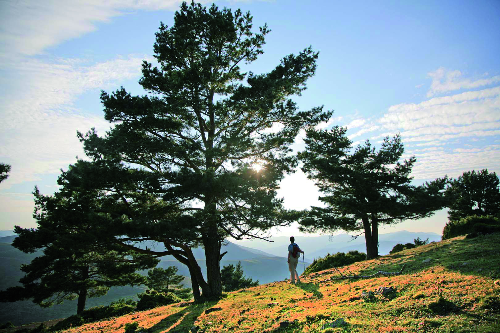
Las Majadas is a self-guided trail in the heart of Sierra de Cebollera Natural Park near Venta de Piqueras. The path follows the old shepherds’ route through just over a kilometre of beech forest in the direction of the Piqueras River. Along the way, visitors can visit a restored shepherd’s hut and learn about the traditional practice of transhumance. Visitors can see how the forest has grown back on land once cleared for grazing livestock. For centuries shepherds travelled this route with their flocks from grazing lands in the north to winter pastures in the south. Sometimes their journey took them as far as Extremadura and even Andalucía. And with the change of the season they would retrace their steps back to higher pastures.

MORE INFORMATION AT: www.larioja.org/medio-ambiente/es/publicaciones/guias-senderismo-mapas